Scientists spot strange phenomenon as wildfire smoke collides with Storm Bertha


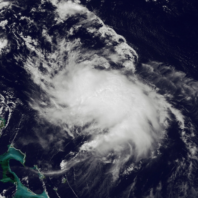
Scientists have spotted an unusual weather clash as wildfire smoke appears to interfere with Tropical Storm Bertha.
Wildfires and tropical storms are usually treated as separate threats, but in the Gulf of Mexico, one disaster may be helping to weaken the other. As Bertha moves towards the US Gulf coast, scientists say smoke drifting through the atmosphere is disrupting the storm’s structure, helping to limit its strength before landfall.
Wildfire smoke is weakening the storm
Tropical Storm Bertha strengthened in the Gulf of Mexico on Tuesday, but forecasters expect it to weaken as it moves closer to the US. A key factor could be wildfire smoke drifting through the atmosphere. Experts say the smoke can make it harder for a tropical storm to organise itself, limiting how much strength it can gain before landfall. In simple terms, the smoke may help disrupt the storm’s structure and stop Bertha from intensifying as much as it otherwise could.
However, the storm is still expected to bring heavy rain, strong winds, coastal flooding and dangerous surf to parts of the northern Gulf coast, including areas from the Florida Panhandle through Alabama, Mississippi and Louisiana.
Advert
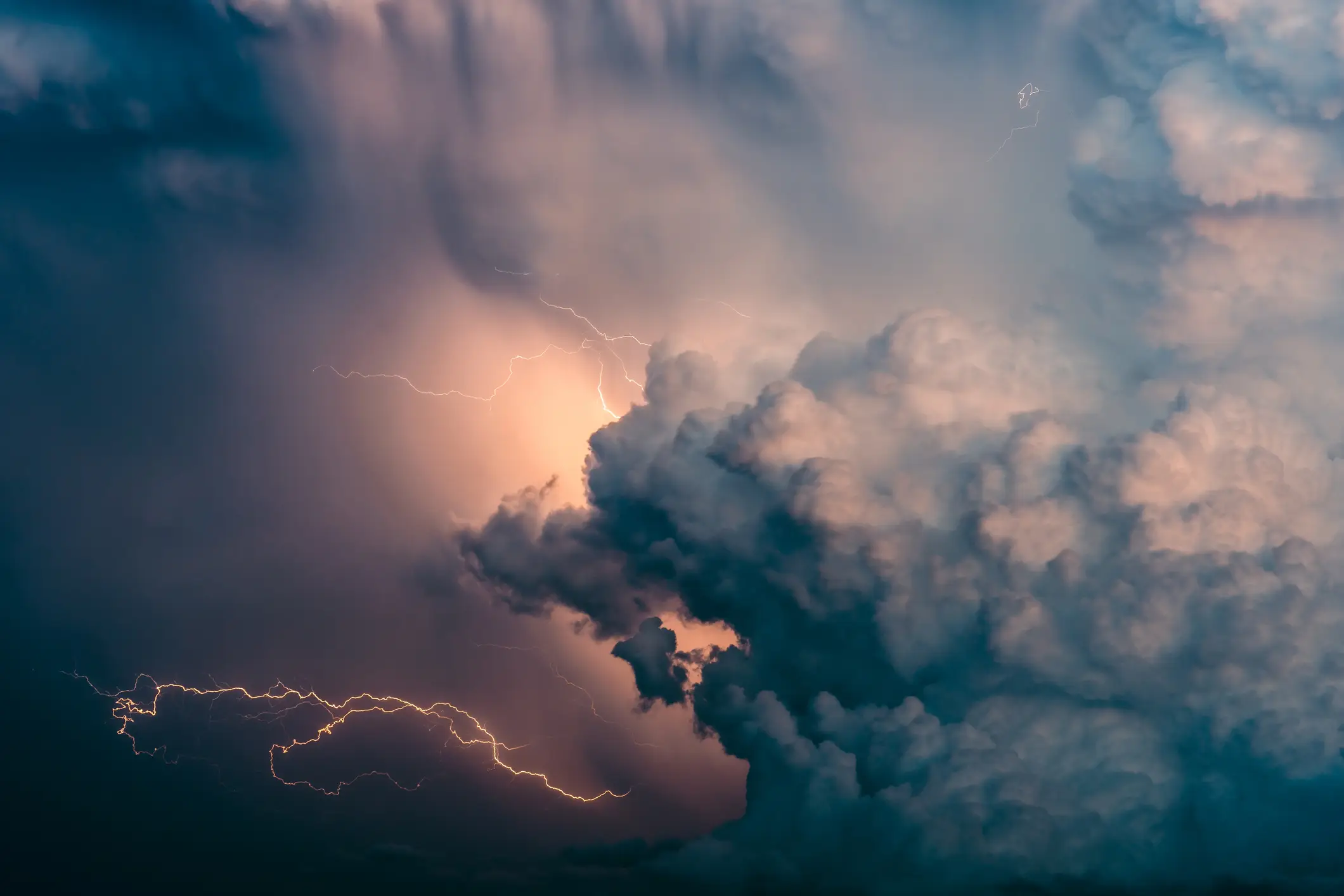
The National Hurricane Center said Bertha was about 120 miles south-west of Panama City, Florida, and 105 miles south-east of Mobile, Alabama, on Tuesday evening. At that point, it was moving west at around 6mph, with maximum sustained winds close to 60mph.
While those conditions remain serious, meteorologists expect the storm to lose some of its strength between Wednesday and Friday.
Where Bertha could make landfall
Bertha is forecast to make landfall on Wednesday night along a coastal stretch of south-eastern Louisiana, south of New Orleans.
Michael Buchanan, a meteorologist with the National Weather Service in Louisiana, said wind is likely to be the biggest threat in that area, as per the Guardian.
The storm is expected to track near or along the northern Gulf coast, bringing periods of heavy rain to coastal areas of Florida, Alabama, Mississippi and Louisiana before moving further west towards Texas.
Bertha is the second named storm of the Atlantic hurricane season, following Tropical Storm Arthur, which brought heavy rain to the south-eastern US in June.
However, forecasters have warned that Bertha could still cause dangerous conditions, even if it weakens before landfall.
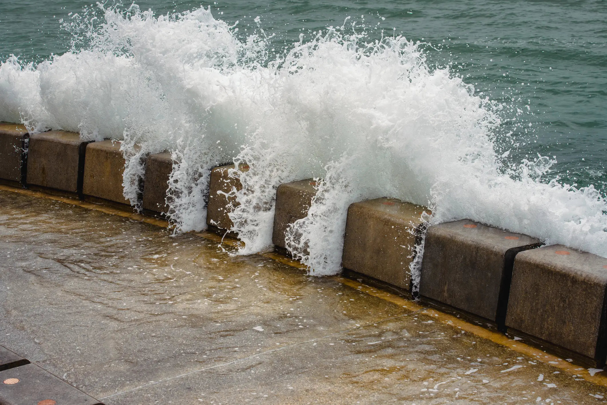
The National Hurricane Center said a storm surge of up to 4ft could be possible in parts of Louisiana, Alabama and Florida. There is also a risk of isolated tornadoes, particularly around the Florida Big Bend region.
Flash flooding may develop along the coast from western Florida to central Texas through Friday. Rainfall totals of 3 to 5 inches are expected along the Louisiana coastline, with higher amounts possible in some isolated areas.
At Orange Beach in Alabama, red flags were raised to warn swimmers about high surf and dangerous currents. In Escambia County, Florida, emergency officials made sand available for people in flood-prone areas to prepare sandbags.