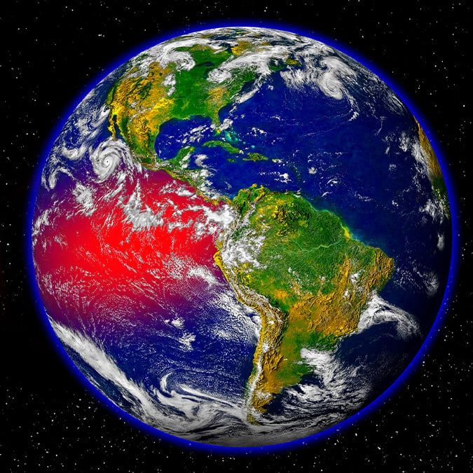
Scientists provide terrifying update on Super El Niño for 2027 as pattern said to be evolving


Experts have provided the public with a concerning update on the approaching Super El Niño as conditions appear to be getting stronger.
Scientists warn that the pattern of the El Niño is evolving, with it expected to continue into 2027.
This comes after experts raised the alarm that this could bring extreme heat, deadly floods, droughts and economic chaos across the globe.
According to a report by the Daily Mail, a team of researchers at Columbia University shared that from April to June, the sea surface of the tropical Pacific Ocean was around 33°F hotter than average.
Advert
The experts said: “Together, these Pacific Ocean SST observations indicate that El Niño conditions continue to intensify, suggesting the event is evolving toward a very strong El Niño.”
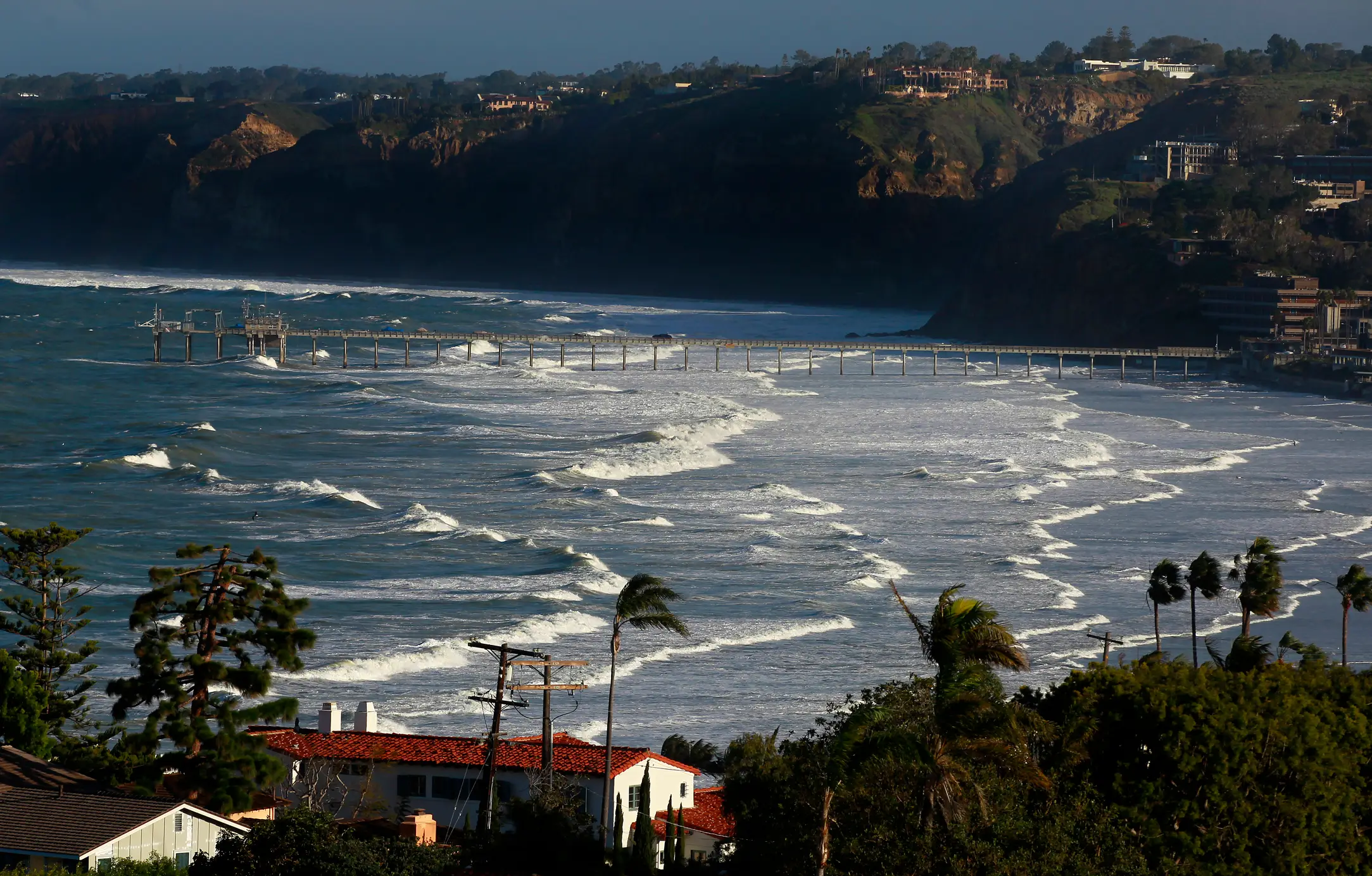
The weather event is expected to have ripple effects around the world, with the US set to face a storm track across the South during the winter months.
Ken Graham, who is the director of the National Oceanic and Atmospheric Administration’s (NOAA) National Weather Service, said: “Every El Niño is not the same; each one is unique with its own imprint on our weather.
“Advanced monitoring and an improved understanding of El Niño patterns allow the NWS to better predict and better prepare the public and our core partners for what is to come.”
What is an El Niño?
An El Niño is a complex climate pattern involving the warming of sea surface temperatures in the central and eastern part of the Pacific Ocean.
El Niños have been classified as a severe weather event for over 500 years, with the name actually originating from a Spanish fisherman who likened the weather event to the birth of Jesus Christ, as it typically happened around Christmas.
Prolonged periods of unusually warm ocean temperatures could put huge stress on sea life and damage nearby ecosystems.

The increased temperatures in the Atlantic Ocean could also influence weather patterns across Europe, leading to stronger storms and more unpredictable weather.
NOAA explained: “The equatorial subsurface temperature index (average from 180°-100°W) decreased in the past month, but significantly above-average subsurface temperatures remained in the central and eastern equatorial Pacific.
“Low-level westerly wind anomalies and upper-level easterly wind anomalies were evident over the central equatorial Pacific. Convection was slightly above average over the central and east-central equatorial Pacific and was near or below average over Indonesia.
“The traditional and equatorial Southern Oscillation indices were negative. Collectively, the coupled ocean-atmosphere system reflected the onset of El Niño conditions.”