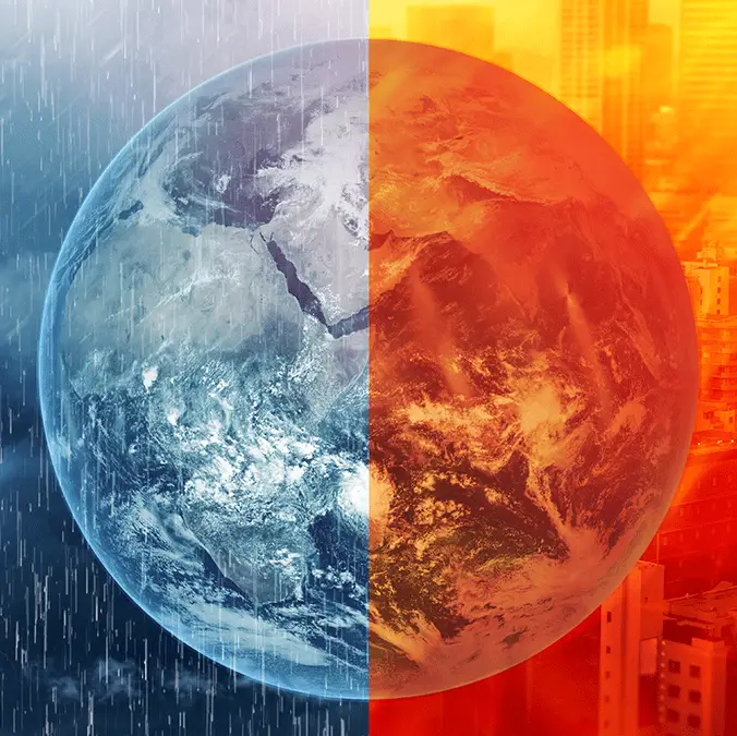
Terrifying El Nino detail hiding under the Pacific Ocean that has scientists declaring a ‘code red’


Many experts are expressing fear surrounding the impending 'super' El Niño expected to hit in the next few months, and there's on particularly terrifying detail observed within the data that's led to a code red being activated.
When it comes to extreme weather conditions an El Niño isn't exactly a rarity as it occurs on average once every five to seven years, and has been a known phenomenon for over half a millennia after first being named in Spain.
There is another one set to hit the world this year, however, and scientists have outlined particular concern surrounding its danger and potential for catastrophe as it has been branded a 'super' variant.
New images captured by one of NASA's sea level satellites have shown the first signs of the El Niño racing across the Pacific Ocean, but while this has been spotted later than previous similar weather events, data shows it could be among the worst in scale across recent history.
Why could this El Niño be worse than others?
As reported by Severe Weather Europe, there is one particular detail that has caused alarm amongst scientists following the observation of initial atmospheric changes in the Pacific Ocean, and it relates to the level of heat underneath the water's surface.
Advert
Climate model data from NASA, the ECMWF, and NOAA have identified anomaly temperatures between the ranges of 50 meters and 150 meters below sea level across the Pacific Ocean, registering more than twice as high as numbers recorded back in 2023.
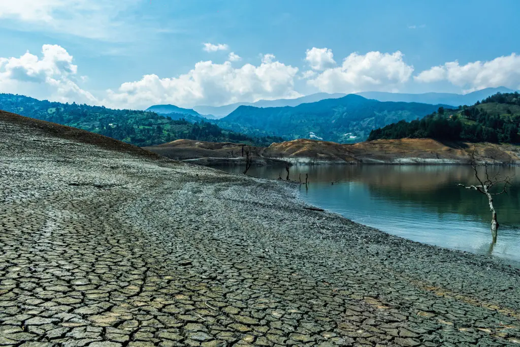
Additionally, current predictions surrounding the intensity of 2026's El Niño outpace previous 'super' versions in both 1997 and 2015, signalling a 'code red' atmospheric scenario.
New forecast data also indicates that the weather event will be stronger than previously expected, with higher temperatures in certain areas paired with a colder-trending tropical Atlantic, which could seriously impact Hurricane season when it rolls around.
What will happen when the El Niño hits?
While the primary association of an El Niño is an increase in heat due to the increased temperature of waters across the Pacific Ocean, it can also trigger significant rainfall and stormy conditions in certain areas of the world.

Regardless of what type of weather you're hit with it's incredibly unpleasant at best and potentially catastrophic at worst, with some of the poorest areas across the world threatened with extreme droughts and famine as a result.
This is expected to be one of the strongest El Niños in recent history, and pairing that with existing global supply issues coming off the back of the extended closure of the Strait of Hormuz, the world is likely going to be faced with food shortages and troubling conditions.