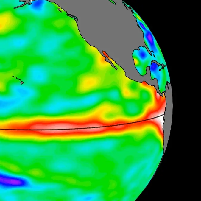
NASA releases new images of 'super El Nino' as massive 1,000km 'wave' moves across Pacific


Many across the world are bracing for a shock this summer as experts have forecast a 'super' El Niño, causing significant weather shifts across the world and potential catastrophe as a result.
Climate change and global warming has meant that the world has faced an increasing number of extreme weather events in the last few decades, with both immense heat and natural disasters hitting across the globe.
While these can often be predicted by scientists, dealing with the impact is unfortunately a task that proves too difficult most of the time, leaving people's lives at risk and destroying areas in the worst case scenarios.
Current data appears to suggest that another major weather event will strike in the coming months too, as NASA's satellites have picked up on an El Niño soaring across the Pacific Ocean months before it actually emerges.
What is an El Niño?
An El Niño is an extreme weather event caused by warm Kelvin waves that form when winds over the western equatorial Pacific Ocean shift from moving east to west into moving from west to east — otherwise known as moving from easterlies to westeries.
Advert
This causes water in the western Pacific Ocean to grow warmer as a result, causing sea levels to rise in large parts of the world, which can lead to both extreme rainfall alongside devastatingly high temperatures and droughts in other parts of the globe.
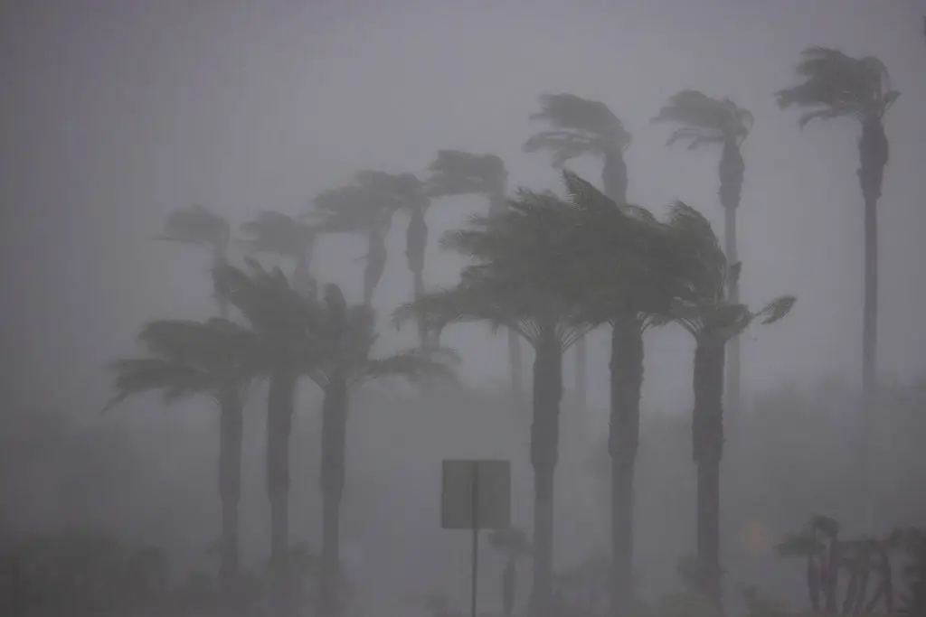
El Niños have been classified for over 500 years, with the name actually originating from Spanish fisherman who likened the weather event to the birth of Jesus Christ, as it typically happened around Christmas.
The one set to occur this year appears to be particularly strong, however, leading many to brand it a 'super' variant with equally catastrophic predicted consequences.
How is NASA mapping the El Niño?
NASA is using a sea level satellite named Sentinel-6 Michael Freilich to track the El Niño that's expected to arrive in the coming months, releasing images of a Kelvin wave moving eastward across the Pacific Ocean.
This particular satellite was launched back in 2020 in a collaboration between NASA and the European Space Agency (ESA), and it's capable of measuring the ocean's heigh down to fractions of an inch — doing so routinely every single day through a comprehensive mapping procedure.
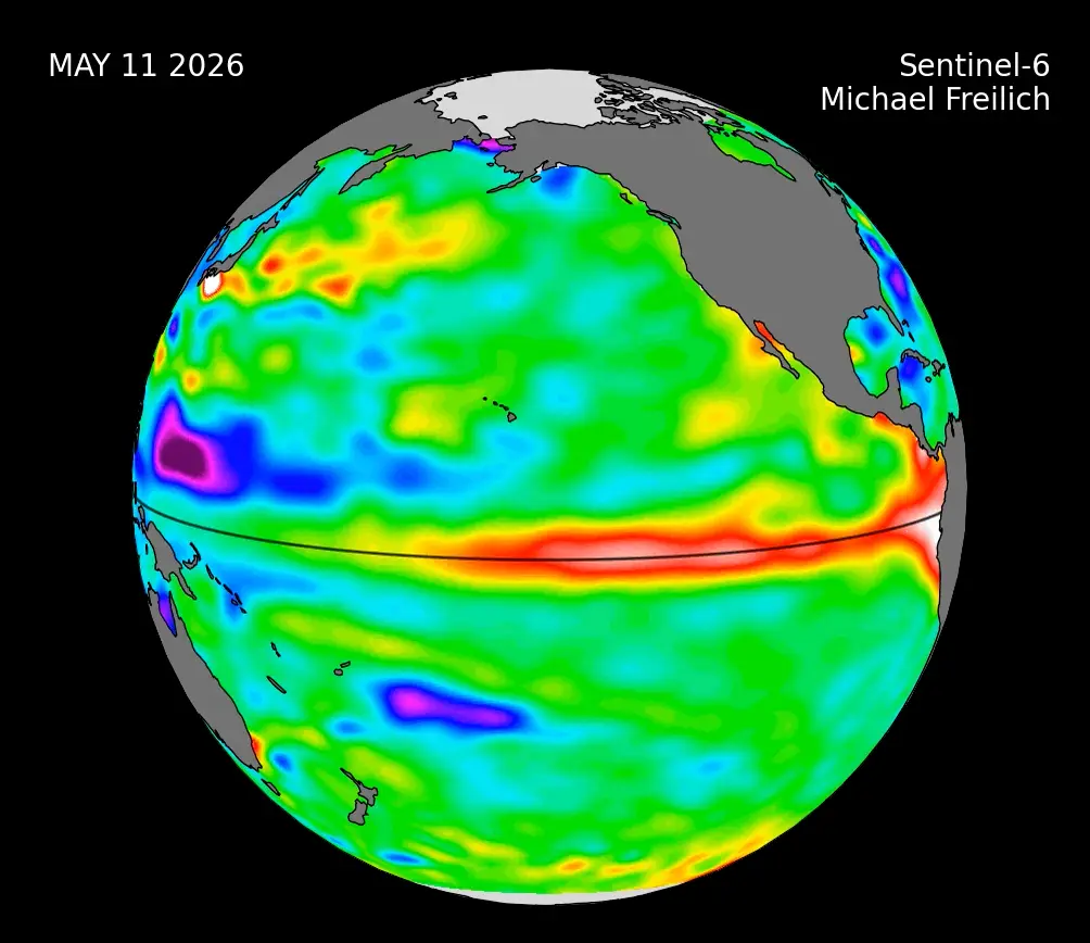
Speaking about the recently observed uptick in warm water across the ocean, NASA sea level researcher Josh Willis of the Jet Propulsion Laboratory explained:
"While this year's event started a bit later than the big El Niños of 2015 and 1997, it's beginning to catch up. We'll see how big it gets."
The Sentinel-6 satellite is a vital tool that could prove to be life-saving as it allows governments and organizational bodies to prepare ahead of time for extreme weather events, yet there's seemingly only so much that people can do to stave off the impact of something as extreme as some expect this to be.
What impact will the El Niño have on the world's climate?
Some experts have indicated that rising temperatures and potential drought could have a catastrophic impact on food availability across the world, with this exacerbated ever further by potential fertilizer shortages following the war in Iran.
Dangerously high temperatures won't just make workers struggle to harvest the same amount of food, but it'll also impact the efficiency of animals, and the viability of these crops — with lower yields also a consequence of the Strait of Hormuz's closure.
While this will likely cause prices to increase in more developed areas of the world, some of the poorer countries will simply be left without food altogether, potentially leading to famine-related deaths.