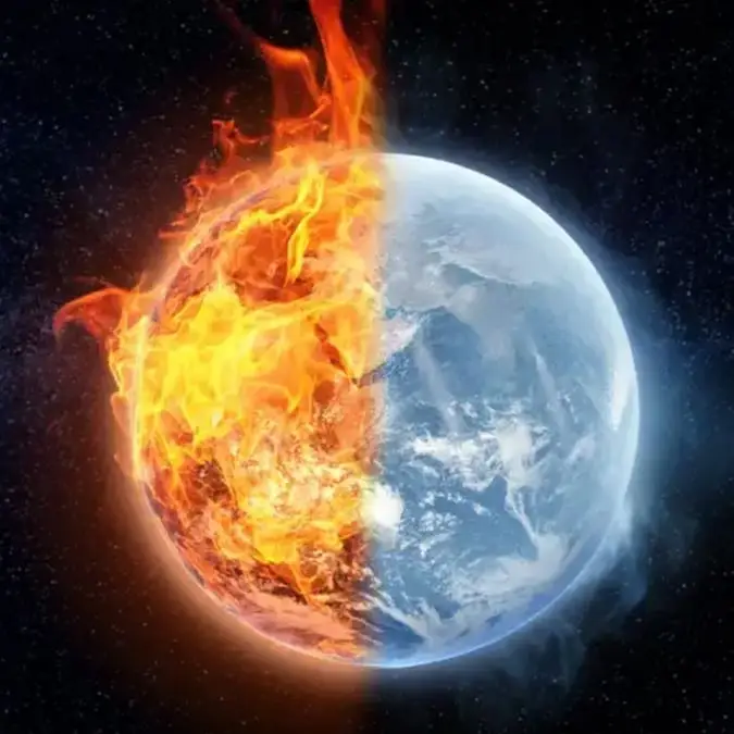
Rising Pacific temperatures raise fears of a powerful 'super El Niño'


What is El Niño you might ask?
Well, an El Niño is a complex climate pattern which involves the warming of sea surface temperatures in the central and eastern part of the Pacific Ocean.
When this happens it leads to knock-on effects with weather globally, including the shifting of rainfall patterns, leading to floods and droughts in certain areas.
Back in 1877, the world suffered one of the deadliest climate disasters in recorded history when a massive El Niño event disrupted weather patterns across huge parts of the world.
Advert
Now, there are concerns that a new ‘super El Niño’ could be brewing with weather forecasters at the US National Oceanic and Atmospheric Administration (NOAA) warning that there is an 80% of one developing by July of this year.
Speaking to AFP, Adam Scaife, who is the head of long-range prediction at the UK Met Office, said: “There’s definitely something coming. We’re very confident about that, and it looks like it will be a big event.”
Scaife went on to say that if a severe El Niño does take place, then there ‘could easily be a new record level of global warmth in 2027’.
The previous weather event in 1877 caused extreme drought in countries including India, China, Brazil and regions of Africa, with crops failing on a huge scale, rivers dried up and food shortages spiralled into famine.
Historians and climate researchers estimate the combined death toll from the global famines linked to the 1877 El Niño reached somewhere between 30 and 60 million people.
However, this does not mean that the world would suffer the same fate if a similar weather event happened today.
This is because scientists have stressed that today’s forecasting systems and disaster response networks are far more advanced than they were during the 19th century, making a death toll on the scale of the historical famines far less likely.
Although, experts are still warning the public that the economic and humanitarian impacts could be enormous if the event intensifies.
Paul Roundy, a professor of atmospheric science at the State University of New York at Albany, took to social media to share his thoughts on the matter.
On X, formerly Twitter, he wrote: “The shift in ECMWF Nino 3.4 solidly into record territory reflects the additional momentum injected into the ocean over the last month. The model isn't well simulating the subseasonal wind stress signals, but once these signals are integrated into the model ocean, amplitude expresses. Confidence is clearly shifting higher on potentially the biggest El Niño event since the 1870s. The next substantial westerly wind event will likely occur during the last 10 days of May.”