
Featured Image Credit: Constantine Johnny via Getty
A 'mega heat dome' is set to engulf 35 states, and weather experts have issued an urgent warning for residents.
The US is bracing for a brutal stretch of weather as a super El Niño drives extreme conditions across key regions, with five major cities already on alert over a dangerous Ring of Fire storm pattern this week.
Now, just ahead of the Fourth of July weekend, a so-called mega heat dome has settled over much of the country, putting 35 states and roughly 200 million people at risk of a week-long stretch of potentially life-threatening heat.
The dome behaves much as a lid clamped over a region of high pressure by trapping hot air at ground level and suppressing cloud formation.
Advert
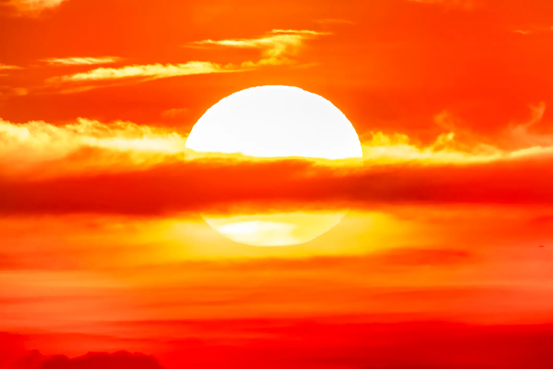
The phenomenon forms when the jet stream, the fast-moving band of air that flows high above the US, develops a bulge or ridge. That ridge then acts as a barrier, trapping warm air beneath the dome while pushing storms and cooler fronts away.
According to meteorologists, this mega heat dome comes from two separate high-pressure systems, one centred over the Southwest and another influenced by the subtropical Atlantic, that have merged into a single, sprawling dome.
"Temperatures get magnified under a heat dome as sinking air associated with high pressure aloft bakes the air mass underneath it," AccuWeather meteorologist Carl Erickson explained (via the Daily Mail). "The longer these features stick around, the hotter it tends to get at the surface of the Earth."
Temperatures are expected to climb from Monday (29 June), with states from New York to Kansas bracing for a heat index above 105 degrees Fahrenheit (40 degrees Celsius) later this week, as per the Daily Mail.
AccuWeather meteorologist Matt Benz warned that while daytime temperatures will be dangerous on their own, 'the lack of any relief from the heat and humidity at night can be especially stifling and even deadly, especially for those that don't have air conditioning.'
Seniors and people with chronic health or mental health conditions face an increased risk, and officials are urging everyone to limit time outdoors during peak afternoon hours.
"While there will be a handful of locations that set record highs on a daily basis, there may be many more where record warmth occurs at night," added AccuWeather Meteorologist Brandon Buckingham.
An Extreme Heat Warning is already in place through Friday evening across parts of the Midwest, South and Mid-Atlantic, covering Illinois, Indiana, Missouri, Kentucky, Tennessee, Arkansas, Mississippi, Michigan, Wisconsin, Iowa, Kansas and Ohio.
The warning signals that the National Weather Service expects conditions hot and humid enough to trigger heat exhaustion and heat stroke throughout the week. Because humid air is already saturated with moisture, sweat evaporates far more slowly, making it harder for the body to cool itself and causing conditions to feel even hotter than the thermometer suggests.
Heat exhaustion typically begins with heavy sweating, fatigue, cool, clammy skin, and a fast but weak pulse, often accompanied by muscle cramps, dizziness, nausea, and headaches. However, heat stroke is far more dangerous and can set in within as little as 15 minutes under extreme conditions. Early warning signs include a throbbing headache, confusion, slurred speech, nausea, dizziness and a body temperature above 103 degrees Fahrenheit (39 degrees Celsius).
An Extreme Heat Watch has also been issued through Saturday evening for parts of the Northeast, including New Jersey, New York, Connecticut, Massachusetts, Rhode Island, Pennsylvania, Delaware, and sections of Maine and New Hampshire.
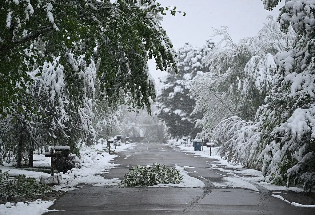
Meanwhile, Montana, Idaho and parts of Wyoming are seeing another weather extreme of heavy snowstorms ahead of the celebratory weekend.