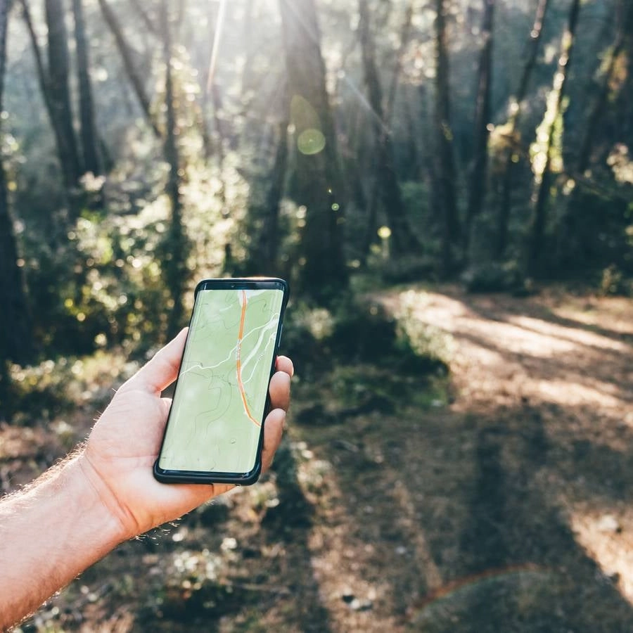
Warning issued over using Google Maps after stranded hikers had to be rescued off trail


We know it's good for the soul to get out in nature, and with so much lush countryside on many of our doorsteps, why would we not? After all, the last thing we want is for the human race to turn into those lazy couch potatoes from WALL-E.
We know that walking is good for us, and when we're in danger of future generations becoming slouched zombies that are addicted to their phones, we encourage you all to get out and (quite literally) touch grass.
You might want to be careful about what tech you trust however, and while many have ditched the paper maps of old, this latest horror story might have you reconsidering.
A rescue group has shared the plight of some hikers, claiming that Google Maps ended up sending them on an 18-hour saga that got them lost and resulted in them being saved by rescue services.
Advert
The worst bit...it was only supposed to be a five-hour jaunt.
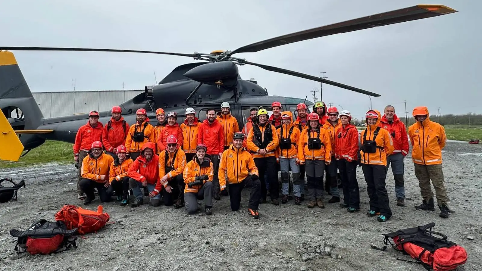
Shared on Facebook by Lions Bay Search and Rescue (via Dexerto), the British Columbia rescue service explained how the journey was split into two parts, going from Cypress Mountain to West Lion for just under three hours, then on to Lions Bay for two hours and 18 minutes.
This is a grand total of five hours and 13 minutes, but as Lions Bay Search and Rescue reminds us, "Anyone familiar with the Howe Sound Crest Trail knows that's wildly optimistic."
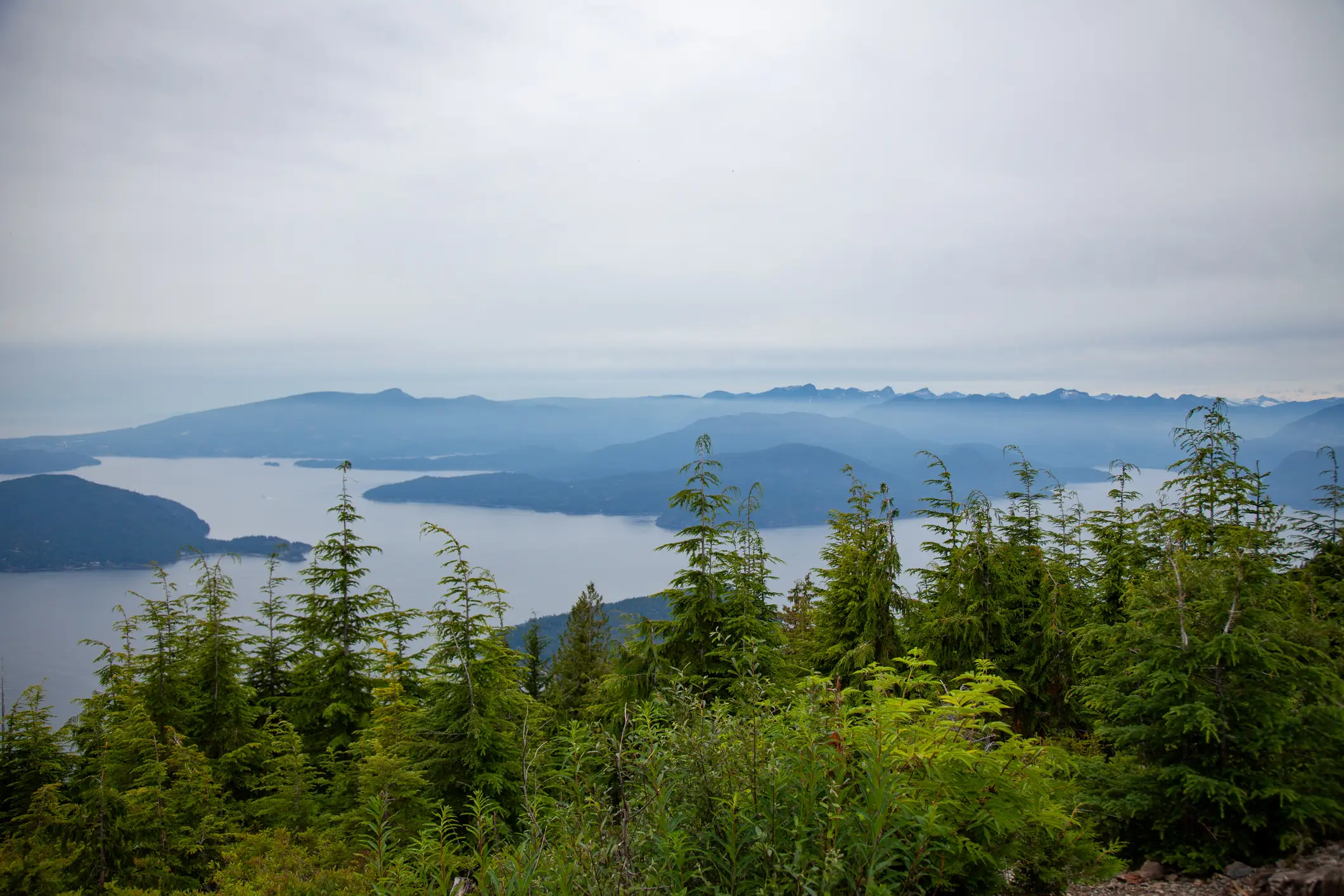
We're told that this route covers nearly 18 kilometers and has over 1,300 meters of elevation gain. This includes alpine terrain, scrambling sections, and "countless ups and downs that Google simply doesn't account for."
Saying this isn't the first time the team has been called out for similar rescue attempts, Lion Bay Search and Rescue chastised the modern tech and added: "When your planning tool gets the fundamentals wrong, your entire trip plan is built on a false assumption. If Google Maps tells you a hike will take five hours when it's realistically a 12–14 hour alpine objective, every decision that follows—from your departure time to the amount of food and water you pack—is affected."
It's apparently becoming more commonplace that rescuers are being called to help hikers who are injured or exhausted, with the group referring to the tech giant's mapping service as "a poor backcountry planning tool."
Breaking it down further, Lions Bay Search and Rescue claims that Google Maps is built for urban areas and starts to fall apart on mountain terrain.
Google Maps doesn't take into account scrambling or technical terrain, the current conditions of trails, realistic hiking time, and physical effort. This means that a route of 'just 18km' can become an 'all-day alpine objective.'
If you fancy yourself as a real-life Bear Grylls, Lions Bay Search and Rescue has suggested a number of alternatives, like apps that are specifically designed for the backcountry.
The most popular choice appears to be the free version of AllTrails, which includes recent trail condition reports, an actual elevation profile, recent comments on potential route issues, and a breakdown of difficulty.
Better yet, it includes an offline version that means you won't be caught short by a potential lack of signal.
Even then, we're warned that you should be prepared for every eventuality, with Lions Bay Search and Rescue concluding: "A map is only one part of planning. Even the best hiking app can't replace good judgment."