
Featured Image Credit: O2O Creative / Getty
Ever wanted to know more about the history of your home? Well, look no further.
Scientists are constantly reshaping our understanding of how the Earth was formed and how life on it evolved, from rethinking the origins of early humans to uncovering lost continents buried beneath mountain ranges.
Now you can uncover a piece of history a little closer to home, literally.
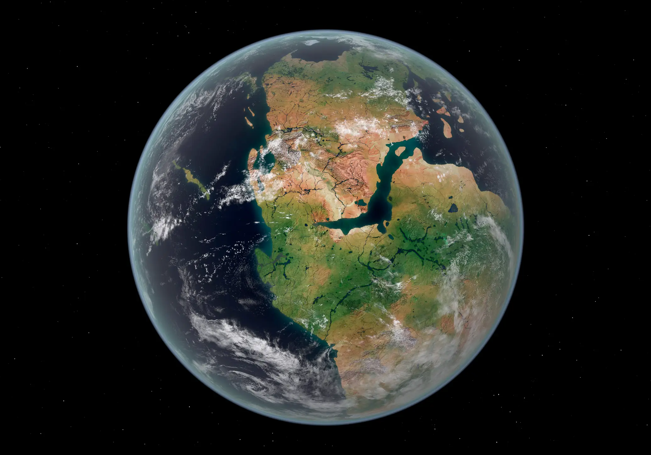
The website is called Paleolatitude and what it does is allow you to type in any location on Earth and find out where that exact spot was situated up to 320 million years ago.
Advert
The tool was originally built ten years ago by researchers at Utrecht University to bridge the gap between palaeobiology and palaeoclimatology.
"Paleolatitude is the latitude of a place at some time in the past, measured relative to the earth's magnetic poles in the same period," the website described. "Differences between this and the present latitude are caused by continental drift and movement of the earth's magnetic poles."
The science behind it draws on the magnetic signals preserved in rocks from around the world and shows how the landmasses have moved around since the beginning of the current geological age.
As shared by Eurekalert, study co-author Dr Bram Vaes from the CEREGE research institute explained: The angle formed by the Earth’s magnetic field and the Earth’s surface changes gradually from the poles towards the equator and is therefore linked to latitude.
"And many rocks contain magnetic minerals that ‘recorded’ the direction of the magnetic field at that location when the rock was formed.”
He added: “So, using this, we can determine at what latitude such a rock was formed.”
The researchers included new data on marine magnetic anomalies that reveal how the major tectonic plates have shifted over time. Paleolatitude also shows the movements of small tectonic plates and several 'lost continents' that folded into mountain ranges in the Mediterranean and Asia.
“For the first time, a truly global model is now available that allows you to link those rocks to their original plates, which have since disappeared into the Earth’s mantle,” added study lead Professor Douwe van Hinsbergen. “The global journey of those rocks can now also be traced.”
Using the tool, anyone can select a location and trace how its latitude has shifted since the age of the supercontinent Pangaea, the vast landmass that existed around 320 million years ago.
Beyond its appeal as a curiosity tool for the general public, the upgraded model is also incredibly helpful for the scientists who developed it.
Palaeobiologists who study fossils need to know not just when a creature lived, but where in the world it lived and this can change dramatically when you account for continental drift.
“With the new model, we have much greater certainty, and our understanding of biodiversity is shifting from one-dimensional – that is, solely over time – to three-dimensional, encompassing space as well,” study co-author Dr Emilia Jarochowska explained. “This enables us to draw important lessons for the resilience of biodiversity in the present.”