Featured Image Credit: Joseph Prezioso/AFP via Getty Images
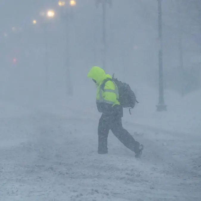
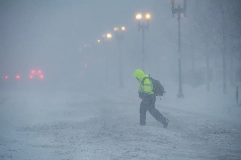
It looks like it’s going to be a chilly weekend, especially for those living in the Midwest as the region has been hit with blizzard warnings.
It seems winter isn’t over just yet as back-to-back snow storms are set to impact millions of people in the area.
Residents of Michigan and Wisconsin are expected to see a whopping two feet of snow drop over the weekend while those living in the Upper Midwest, Northern Plains and New England could be hit with over a foot of snow.
The National Weather Service (NWS) has put out an alert detailing a ‘widespread high wind event’ is expected to take place from the Northern Rockies all the way to the Upper Midwest today (March 12).
Advert
The notice went on to say that heavy snow is also expected from the Northern Plains to the Northeast.
The alert said: “A rapidly intensifying low pressure/frontal system over the northern High Plains this morning will sweep quickly eastward towards the Great Lakes bringing a widespread high wind event and a swath of heavy snow to the region.
“A light wintry mix can be expected across the Northern Plains today before a band of heavier snow picks up into the evening and overnight hours as the system reaches the Upper Great Lakes. Snowfall
totals of 4-8 inches, locally higher, can be expected, with the gusty winds also leading to periods of blowing snow.
“Some light to moderate post-frontal snows are also expected across portions of the High Plains of Montana. The deepening low pressure will lead to widespread very strong winds from the Rockies east across the northern Plains, with gusts as high as 70 to 80 mph possible. Strong, warm and dry downsloping winds east of the Rockies have also prompted a Critical Risk of fire weather (level 2/3) from the Storm Prediction Center over portions of the central and southern High Plains.”
Meanwhile, other parts of the US are facing tornado warnings with the NWS taking to social media to raise the alarm.
On X, formerly Twitter, the organization wrote: “The risks for tornadoes and severe weather shifts eastward today into the OH Valley/Mid-Atlantic and across the northern Gulf Coast. A few tornadoes will be possible across these areas, along with damaging wind gusts. A few storms producing large hail are also possible within the northern storms. Follow your local NWS forecast office for the latest.”