Featured Image Credit: Planet Observer / Contributor / Getty
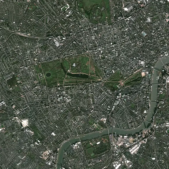
If you ever want to feel bad about the state of the world then there's few better places to look than Google Earth, as the tech giant's high-resolution satellite imagery has provided a detailed picture of our planet's degradation over the past three decades.
Unless you've been living under a rock it's almost impossible to ignore the effect that both climate change and deforestation is having on our planet, as Earth struggles to cope with growing global demands over the years.
Scientists and climate experts indicate that we're edging ever closer to a 'tipping point' of no return that will only continue to accelerate the effects of global warming, and studies have even shown that this could leave major cities underwater in the alarmingly near future.
Regardless of this knowledge, it remains shocking still to see quite how much certain parts of Earth have changed over a relatively short period of time as a consequence of human interference, with many finding the transformation a sobering realization.
As shared by u/WiseCartographer5007 on Reddit, a video showing the change in key areas of Earth roughly between 1984 and the 2020s will likely leave you stunned.
Advert
Primarily what you'll be observing as you watch the footage is either masses of melted ice as a result of growing global temperatures, alongside once-green landscapes turned into wastelands or expanded cities thanks to deforestation.
The Pearl River Delta in China, for example, effectively spawns out of nowhere between 1984 and 2020, and has now become the wealthiest region in southern China to the detriment of the environment.
Patches of green obliterated over the years in areas like Atsimo-Andrefana, Madagascar are particularly sad to see, but by far the hardest parts of the timelapse to watch are those that show ice melting.
The Columbia Glacier in Alaska was once covered in a frosty white forty years ago, yet now it is nothing more than another part of the ocean with not a single piece of ice left on the water.
One user in the comments brands the video "interesting and horrifying," whereas another remarks that "this is just so depressing." A third even claims that "we really are a virus to this planet," and when watching the footage in action it's hard to deny.
If you wanted to take a look at certain areas for yourself, whether it be somewhere you suspect to have been heavily affected or a place near you, there's thankfully a new tool implemented within Google Earth that lets you loot into the past.
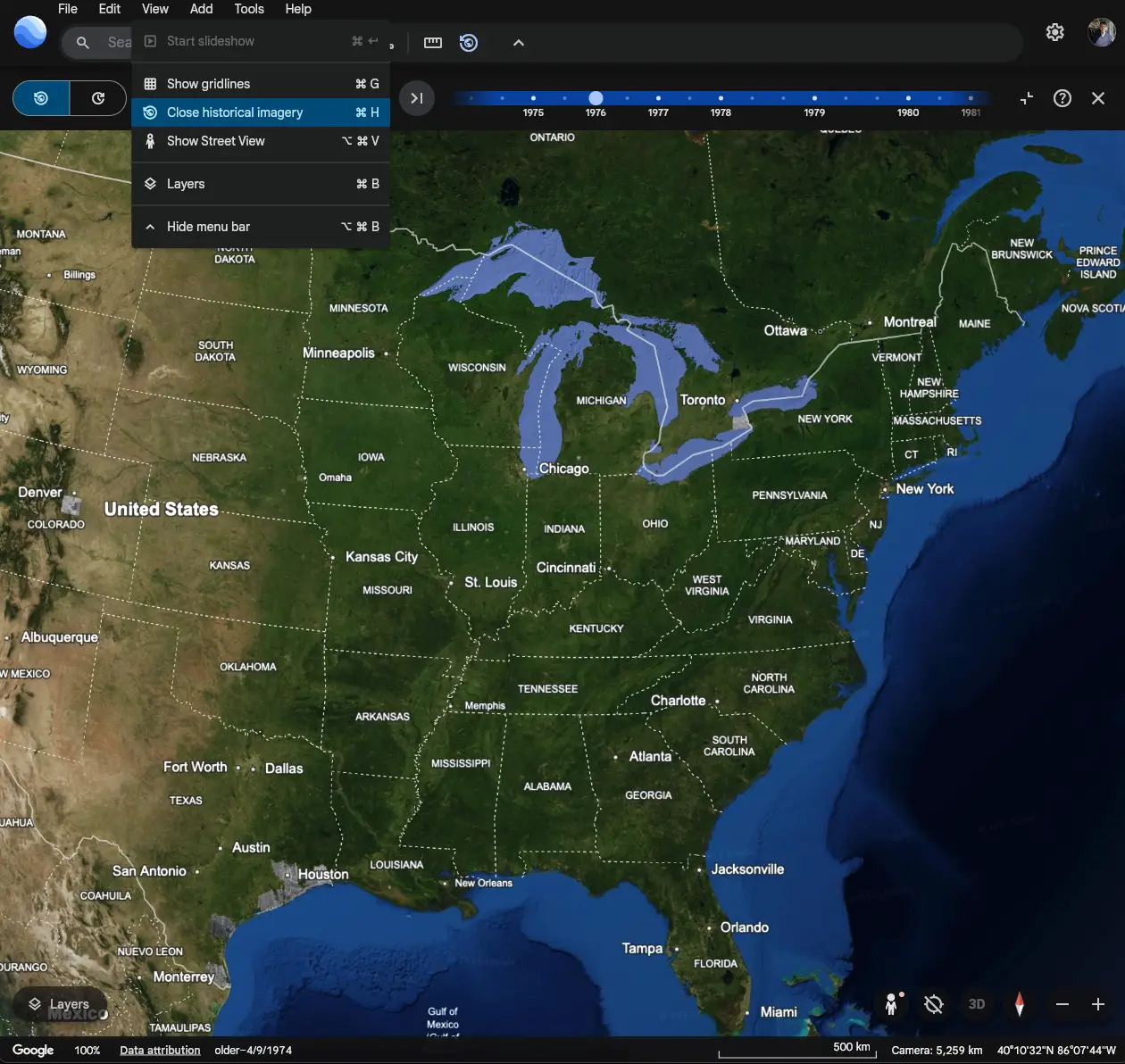
Once you've got Google Earth open, all you need to do is open the 'View' menu in the top left, and then select 'Show historical imagery'. This can also be activated by pressing CTRL+H on PC or CMD+H on Mac.
Now that you've got the menu open you can jump to any point in history from 1966 to the present day, although the further back you go the fewer points of reference there will be if you're looking for a particular year.
