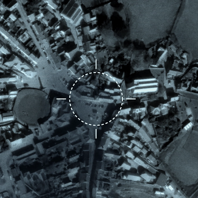
Interactive ‘Doomsday’ map reveals how at risk your home would be during a nationwide catastrophe


With tensions continuing to rise around the world, the possibility of a major international conflict is something many people may have found themselves worried about.
While nobody wants to imagine what would happen if a full-scale catastrophe were to actually unfold, a new interactive tool is allowing people to explore just how exposed their homes could be if the worst were to take place.
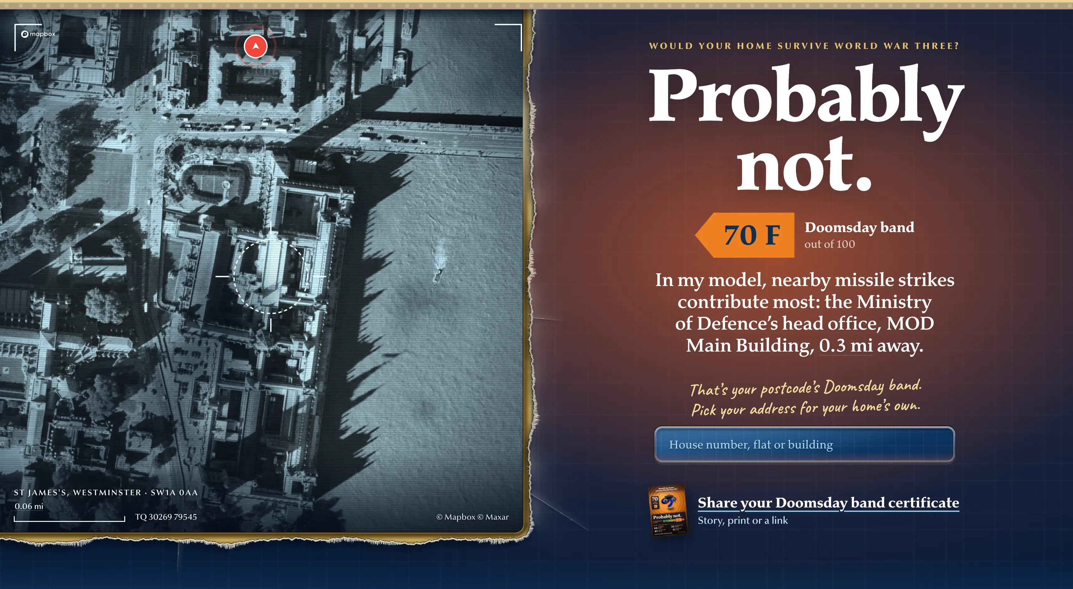
Known as the ‘Doomsday’ map, which was created by Inspector Walls, it allows users to enter their postcode and investigate how their local area might fare in a hypothetical World War Three scenario.
Advert
Rather than simply looking at how close someone lives to a major city, the tool takes several different factors into consideration when assessing the potential risks facing a property, which includes the proximity of potential military targets, major infrastructure and population areas, as well as environmental factors that could influence the spread of radioactive fallout.
Users can also explore how features of the surrounding landscape, including hills and rainfall, could affect the potential dangers in their area.
The tool even considers aspects of individual properties, including how well their walls and windows might protect occupants during a nuclear blast.
Other factors include the availability of underground shelters, nearby hospitals and potential escape routes, alongside the possible consequences of widespread power outages and a nuclear winter.
Places like central London are given an F rating on the Doomsday band, meaning your home will ‘probably not’ survive World War III if it were to break out.
But if you’re based somewhere more rural like the Scottish Highlands then you might fare better as places like John O’Groats are rated A, with the biggest concern being how well stocked your home is.
However, it is important to note that the map is not a scientific prediction of what would happen in the event of a nuclear war and it instead uses publicly available information and a series of assumptions to create a hypothetical picture of how different locations could be affected.
How to use the interactive ‘Doomsday’ map
If you’re keen to try out the tool yourself, you can do so by visiting clicking here and entering your postcode.
The interactive map will then allow you to explore the potential risks associated with your own location, where you can see for yourself how the different factors could influence your chances of staying safe during a nationwide catastrophe.