North Korea's version of the world map leaves people totally stunned
North Korea is known for many things, notably being one of the strictest countries in the world in terms of travel, human rights, media control, and religious freedoms.
Some report on it as being like George Orwell's Nineteen Eighty-Four in terms of surveillance, while an extensive network of prison camps shows the harsh realities of what happens to those who go against the Workers' Party of Korea.
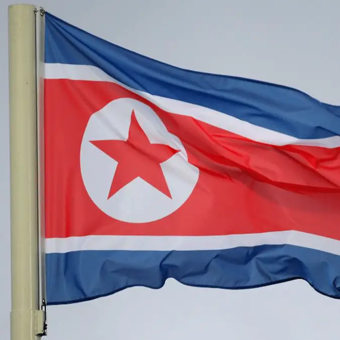
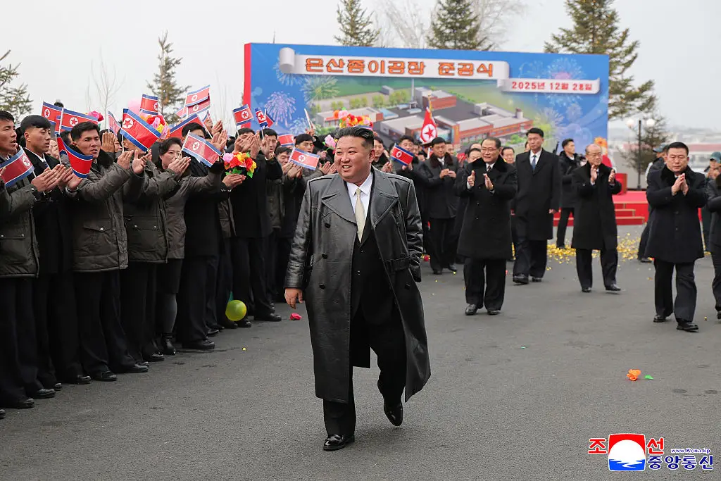
The infamous Kim Jong Un has ruled since his father died in 2011, being the third member of the Kim dynasty to lead the country. North Korea (also known as the Democratic People's Republic of Korea) was founded by Kim Il Sung in 1948, and over the decades, it's developed an unsavory reputation as a totalitarian dictatorship.
We've previously covered what it's like to be a tourist in North Korea, and after one tech YouTuber lifted the lid on phones that were smuggled out of the country, there were fears for his safety.
Advert
The rest of the world is fascinated by what goes on behind North Korea's curtain of secrecy, with one world map suggesting that geography is very different over there.
Schools in North Korea apparently teach all the usuals like Korean, science, and math, although there's a heavy emphasis on state ideology and the history of the Kim family.
Over on Reddit, people were shocked by North Korea's take on the world map.
For starters, the depiction of North Korea in red also encompasses South Korea. Although the pair have been separated since the end of World War II in 1945, there's no love lost between the two sides.
It's interesting to note that a South Korean from the Korean Culture and Information Service also claims the entire peninsula, so it seems they're as bad as each other.
Back to the North Korean map, the fact that it's Pacific-centered also puts Asia in the middle of the map and notably moves Japan from its position as the Land of the Rising Sun.
Although there's good news that New Zealand is included, it's not so positive for Newfoundland, which is MIA here. Also, spare a thought for Mediterranean islands like Corsica and Cyprus that seem to be absent.
Responding to the map, one person said: "I actually like this a lot more, the landmasses all feel more connected somehow. The Pacific in between instead of Atlantic feels a lot more fitting and the gradual curve downward from Alaska-Russia all the way down to Spain/Portugal suddenly makes the climate of all these places make so much more sense too."
Another joked: "That’s gonna be REAL HARD for the US to take Greenland."
A third concluded: "Ignoring the obvious bit about Korea, I actually like this map more than the Mercator projection. Everything seems to be a lot more proportionate."
Most countries apparently center on their own country on maps, with many in the comments saying there's nothing too weird about North Korea's take...aside from the South Korea erasure.