Featured Image Credit: Google
The truth behind a ‘phantom island’ which appeared for 200 years before vanishing into a black hole on Google Maps has finally been revealed.
Sandy Island once existed between Australia and New Caledonia until explorers stopped being able to locate it.
It was first discovered in 1774 by Captain James Cook, and was published in Cook’s Chart of Discoveries made in the South Pacific Ocean two years later.
A century later, the island was reported by a whaling ship and the island was included on several maps in the 19th century.
Advert
However, explorers began to doubt the existence of Sandy Island after vessels failed to find it where it was meant to be located.
It became known as the ‘phantom island’ and despite attempts, it was deemed untraceable and was removed from many maps, including the French Hydrographic Service in 1979.
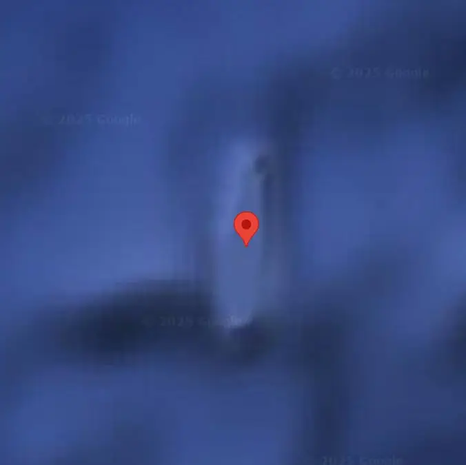
But this is where the puzzle gets more confusing because the island suddenly began to pop up on digital maps including the likes of Google Maps.
This reignited the world’s intrigue about the island and sparked people to go out looking for it once again.
It wasn’t to be though, and the true discovery took place on November 22, 2012, when the scientists onboard the RV Southern Surveyor, which is an Australian marine research vessel, failed to locate Sandy Island.
Visiting the coordinates of the supposed island, the experts recorded that the ocean was at a depth of at least 4,300 feet, eliminating the possibility of any land hiding beneath the waves.
Speaking to AFP, Maria Seton from the University of Sydney said: “We wanted to check it out because the navigation charts on board the ship showed a water depth of 4,300 feet in that area – very deep.
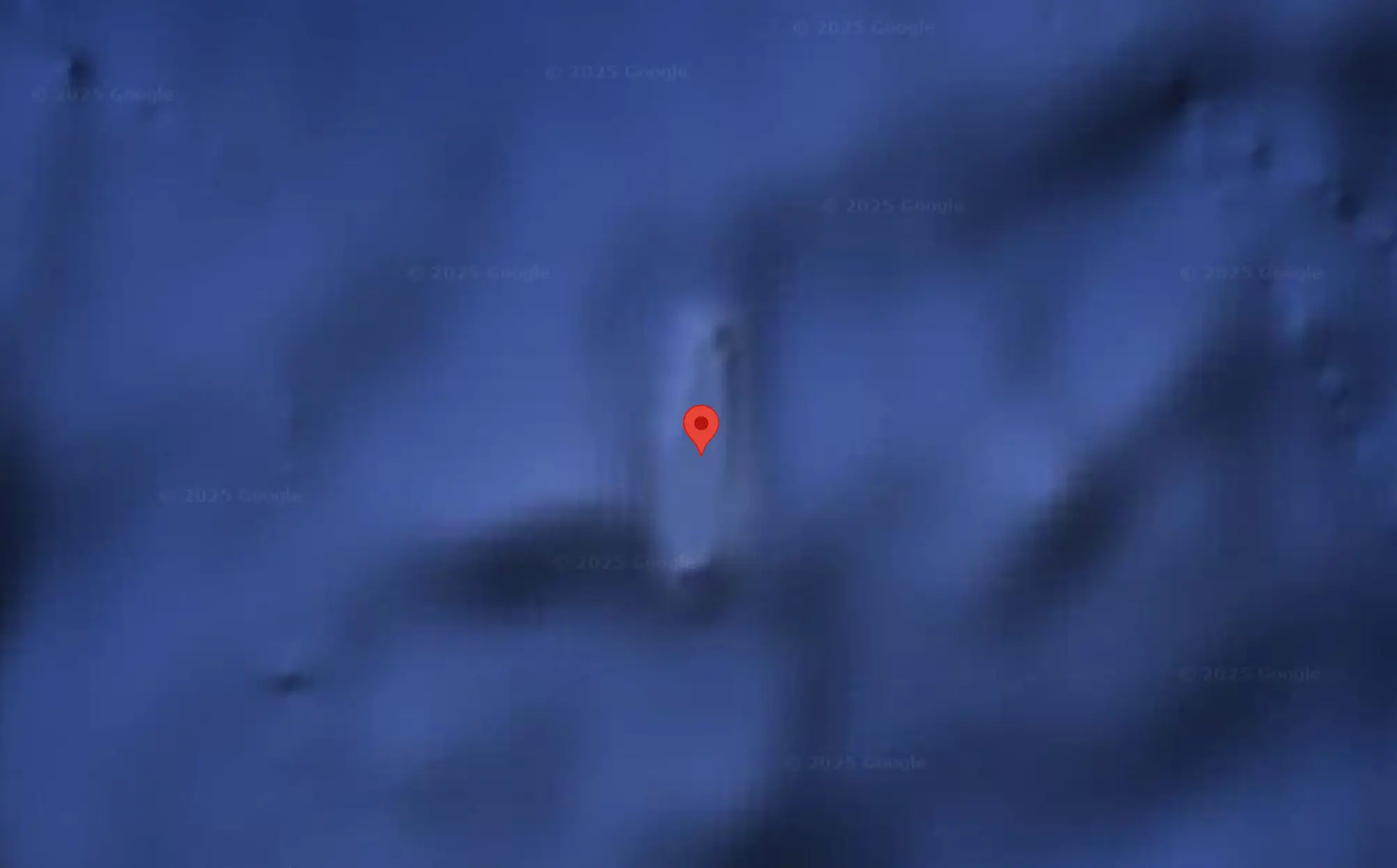
“It’s on Google Earth and other maps so we went to check and there was no island.
“We’re really puzzled because it is quite bizarre. We just do not know how it found its way into the digital map.”
As a result of the research expedition, the island was removed from Google Maps just days later on November 26, 2012.
Why there hasn’t been any official reasoning given behind the several sightings of Sandy Island in the past, some say that the island might have been just the remains of a coastal subaerial eruption floating in the ocean which was mistaken for a piece of land.